genres
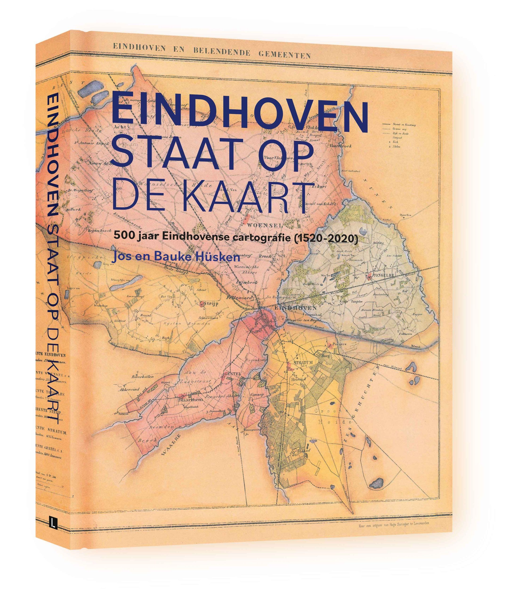
Eindhoven staat op de kaart (Eindhoven is on the map)
€49,95
Available by sending an email to:
info@cultuurhistorici.nl
Author(s): Jos Hüsken and Bauke Hüsken
Appeared on: December 10th. 2023
Language: Dutch
Pages: 352
Size: 295 x 372 mm
Edition: hardcover
ISBN: 9789462265028
Year: 2023
Publisher: Lecturis
Design: Edwin Smet
Maps fascinate! The authors of this book know this all too well. The book can therefore be seen as a logical consequence of their many years of collecting old prints and city maps of Eindhoven and the knowledge about this matter that has been gained. In this book you will be taken through the five-hundred-year history of Eindhoven cartography, where the maps and plans always play a central role. Using almost a thousand images, the authors also highlight various remarkable things they encountered when studying the maps. For example, on certain maps the Dommel – instead of the Gender – would have flowed straight through the old town of Eindhoven and on other maps there is an entire residential area that was never built, with street names that did not exist either!
The book is full of such rarities, facts and of course many informative items. The first four chapters in particular, which cover the period up to 1820, have a more scientific character. In this part, the fortress maps of Hogenberg and Baudartius and the maps of the Kempenland quarter are analyzed. In the final chapters the emphasis is on the development of the city and many maps are highlighted that the reader may be familiar with or may even have owned or still own. From chapter five onwards you will read about the land registry, the topographic maps, the expansion plans and of course the regular map publications of Lecturis, the VVV, Koonings, Falkplan and Freytag & Berndt are amply discussed. Very special maps, such as printed on a designer dress or a play mat, or made of wood that has been treated with a laser, have also been included in this unique book.
Additional information
| Weight | 3000 g |
|---|---|
| ISBN | 9789462265028 |
